As a courtesy GORC provides the general community with easy-to-read printable maps of all the GORC-maintained trails in our area. We release maps and subsequent updates as they become available.
Trail Rules 3 Day Cumulative Rain Totals Map
Trailforks Map MTB Project Map Gravel Map Ozark Gravel Routes
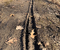
 Good to Go |
  Use Caution |
  Poor Condition |
  No Recent Update