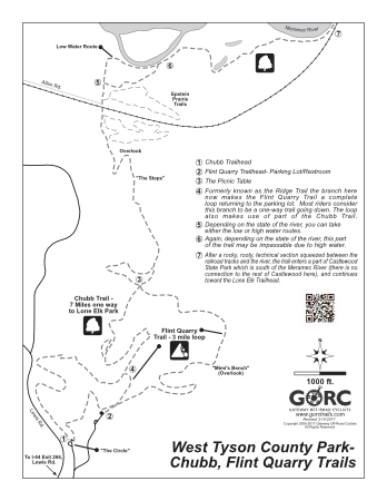
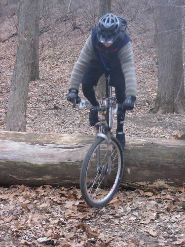
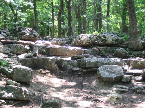
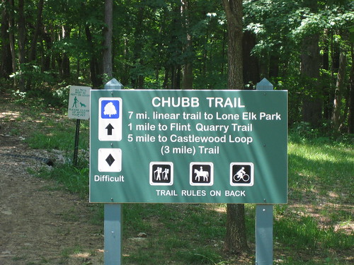
West Tyson County Park has the trailheads of both the Chubb and Flint Quarry Trails. The 7 mile (14 miles roundtrip) Chubb begins at the Circle at the top of the road to the left as you enter the park, and Flint Quarry (3 mile loop) at the parking lot at the end of the lower entrance. There is a 0.3 mile connector between the 2 trailheads. Both trails come together at the Picnic Table, around 1.5 miles into either trail. The Chubb continues on down to the Meramec River bottom while the Flint Quarry makes use of part of the Chubb, and the trail formerly known as the Ridge Trail, making its way back to its starting point for a 3 mile loop. Both trails at this end offer many opportunities to test your skills with steep climbs, loose rocks, drop-offs, and tight switchbacks. This section of the Chubb contains “the Steps”, an exposed section of the Kimmswick Limestone, which is sure to challenge your technical ability.
The eastern end is mainly dirt singletrack with a moderately steep climb that ends at the trailhead in Lone Elk County Park. In between, there are some technical sections, but for the most part, the trail winds along the flat river bottom. The Lone Elk connector is subject to standing water and even flooding after rain, so it’s to be avoided when wet conditions are present. The Chubb and Flint Quarry trails are more durable when wet, but can be very treacherous due to the slippery rocks.
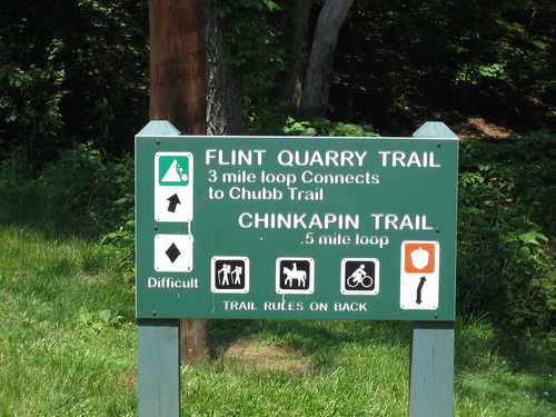
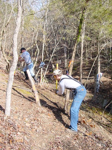
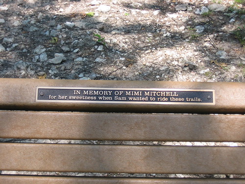
The 1.5 mile Flint Quarry trail was built in September of 2000 with the help of over 90 volunteers!!! Thanks to GORC member Sam Mitchell (trail designer and advocate), who with the help of Sue Kuhnert from St. Louis County Parks, put on the largest and most successful workdays ever in St. Louis.